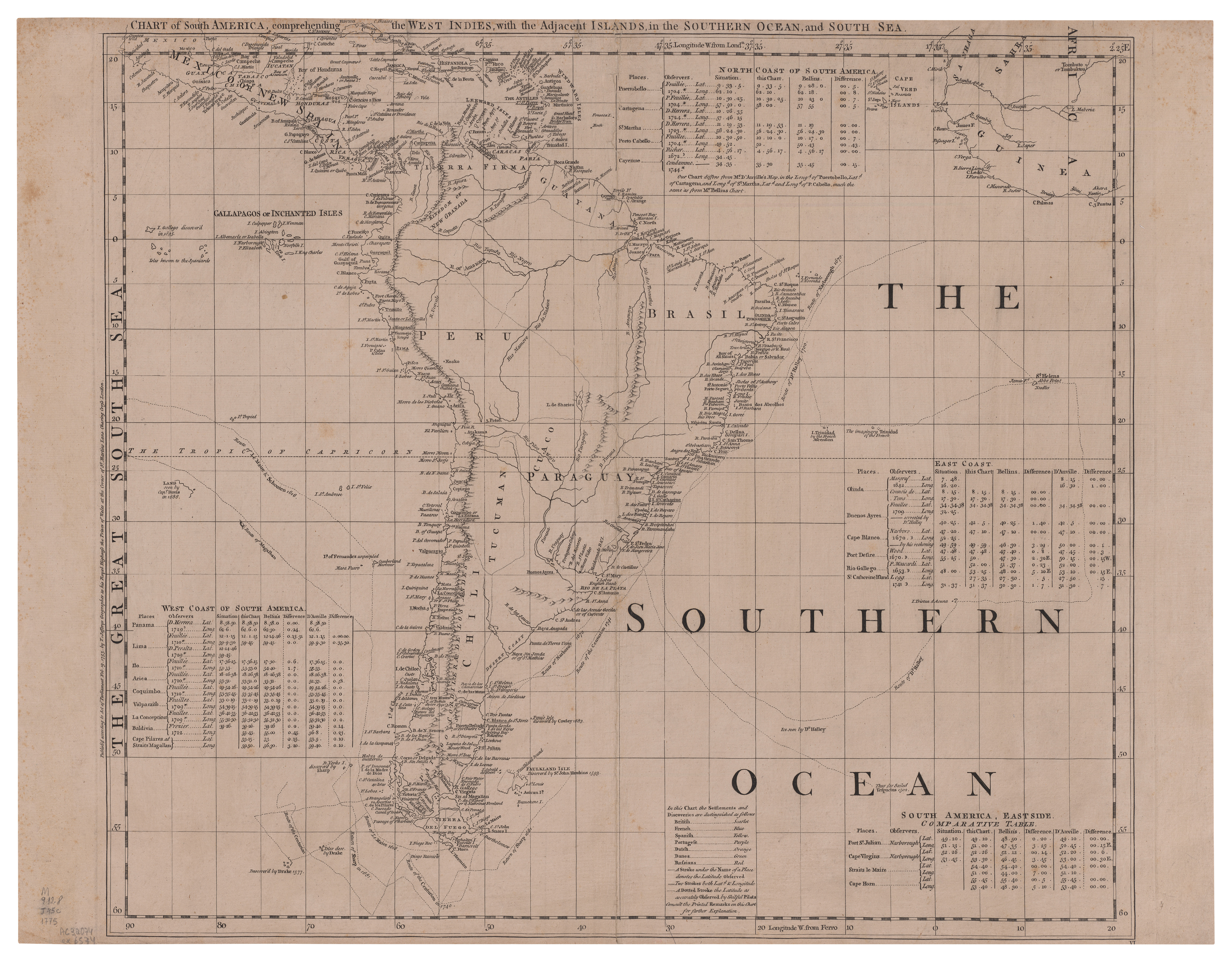
Chart of South America : comprehending the West Indies, with the Adjacent Islands, in the Southern Ocean, and South Sea
| dc.creator | Jefferys, Thomas | |
| dc.date | 1753 | |
| dc.date.accessioned | 2023-02-24T15:11:41Z | |
| dc.date.available | 2023-02-24T15:11:41Z | |
| dc.identifier.uri | https://www.repositorio.dphdm.mar.mil.br//handle/123456789/847995 | |
| dc.format | 54 x 62 cm | |
| dc.language | Inglês | pt_BR |
| dc.publisher | London : T. Jefferys | pt_BR |
| dc.subject | Oceano Atlântico | pt_BR |
| dc.subject | América do Sul | pt_BR |
| dc.subject | Costa Oceano Atlântico (América do Sul) | pt_BR |
| dc.subject | Costa Oceano Atlântico (África) | pt_BR |
| dc.subject | Região Costa do Pacífico | pt_BR |
| dc.title | Chart of South America : comprehending the West Indies, with the Adjacent Islands, in the Southern Ocean, and South Sea | pt_BR |
| dc.type | Mapa | pt_BR |
| dc.rights.holder | Biblioteca da Marinha | pt_BR |
| dc.coverage | América do Sul | pt_BR |